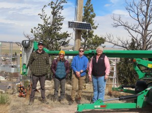
Our Chapter has installed a Motus Wildlife Tracking System in southeastern Wyoming! This project is a collaborative effort with the Bird Conservancy of the Rockies, Wyoming Game & Fish Department, and the Community of Pine Bluffs. Our new Tracking System is just south of the town, in the Bluffs area. We are now anxiously waiting to see what our first bird will be … a Longspur? A Swainson’s Thrush?
What are Motus Tracking Systems? They are a network of automated radio telemetry stations, placed in precise locations, to provide researchers and wildlife managers about the movement and behavior of endangered birds , bats, and insects.
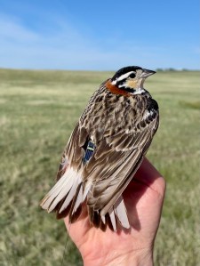
Scientists place a small transmitter tag on the bird and when it passes a Motus Station during flight, data are collected to fill gaps in knowledge. Motus data are available to the public at motus.org.
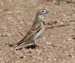
Below is an example of a 2024/2025 project tracking Thick-billed longspur with fifty-seven (57) birds tagged.
Motus tracked them through 30 stations (represented by green circles). Data were collected in Colorado and again in Montana and North Dakota, but no information was available for Wyoming migration or breeding. We are changing that! There are now two systems in southeastern Wyoming – our Pine Bluffs location and one near Glendo State Park on a private ranch.
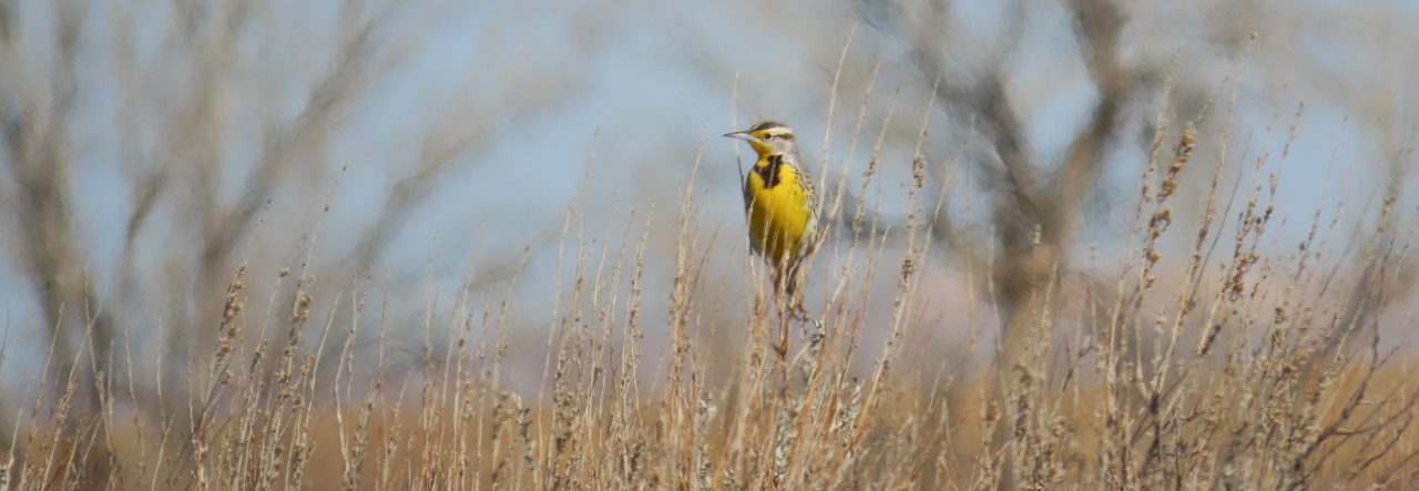
In Wyoming, prairie birds most at risk include the Thick-billed and Chestnut-Collared longspur, Baird’s sparrow, and Sprague’s pipit. Populations of longspurs (both Thick-billed and Chestnut-collared) have been identified north of Hillsdale (WY) but without a station in southeastern Wyoming to capture data, valuable migration and breeding information is lost. Now we can obtain data! Thank you to everyone who make our new station possible!
Questions? Contact Chapter President Lorie Chesnut at cheyenneaudubon@gmail.com.
